Abstract
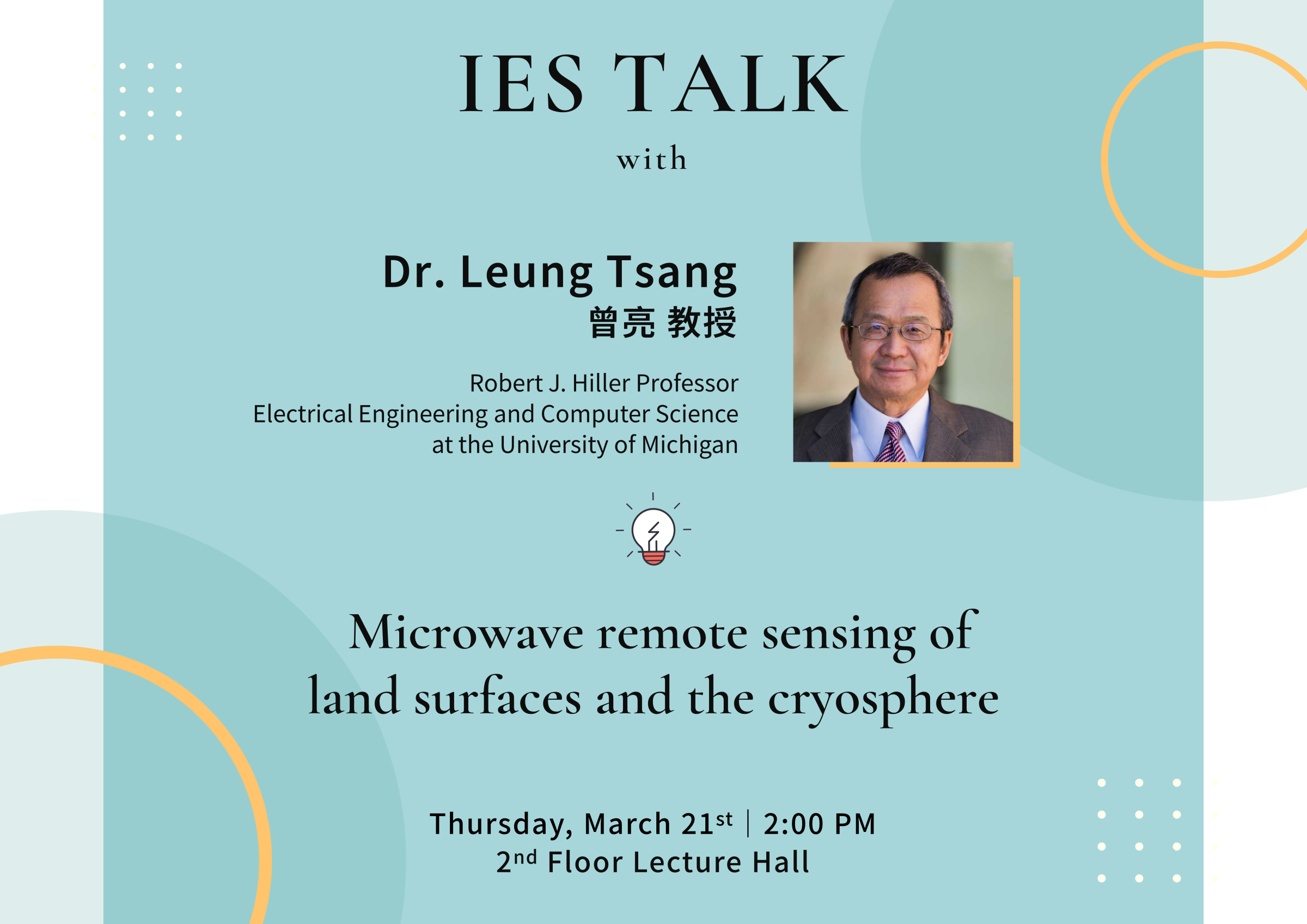
Satellite microwave remote sensing have been used for monitoring the Earth’s resources and global climate change. Microwaves can penetrate through clouds and rainfall and allow frequent revisits. There have been many microwave remote sensing satellites that were launched and have been planned. This seminar will describe the microwave remote sensing of soil moisture, vegetation/forests, the snow water equivalent, and the polar regions. The microwave sensors include synthetic aperture radars, passive radiometers and signals of opportunities using GNSS signals. For soil moisture, we discuss the satellite missions of SMAP (radiometer) , CYGNSS (GNSS-R) and NISAR (SAR). The global monitoring of soil moisture is used for the understanding of hydrological water processes, to enhance climate studies and for improved flood prediction and drought monitoring. A particular interest is using microwave sensors for remote sensing of forests and the soil moisture under forests. For cryosphere properties, we describe the SMAP and the proposed mission of PolarRad which can be used to retrieve firn properties, subsurface temperature profiles, sea ice thickness and aquifers. The satellite remote sensing of polar regions is useful for measuring and investigating changes in the mass of ice sheets, the polar ocean salinity, subsurface temperature in the polar ice sheets and the water content of aquifers. For remote sensing of terrestrial snow, we describe satellite missions of synthetic aperture radars of Sentinel 1 and the proposed mission SnowGlobe. The global monitoring of snow water equivalent is useful for global snow mass estimates and to quantify rates of snow accumulation and melt. The theoretical core of satellite microwave remote sensing consists of the physical models of scattering of microwave waves with complex geophysical environment. We describe scattering of electromagnetic scattering and the usage of physical models in data analyses and retrieval algorithms.
Brief Biography:
Leung Tsang is the Robert J. Hiller Professor of Engineering and is a Professor of Electrical Engineering and Computer Science at the University of Michigan. He was a Professor at the University of Washington from 1983-2014. He was on leave at the City University of Hong Kong from 2001-2004. He received his BS, MS and PhD from MIT. Leung Tsang is the lead author of 4 books: ‘Theory of Microwave Remote Sensing and Scattering of Electromagnetic Waves’ (volumes 1, 2 and 3). He was the Editor-in-Chief of the IEEE Transactions on Geoscience and Remote Sensing from 1996-2000, the President of IEEE-GRSS from 2006-2007. Since 2008, he has been the Chair of PIERS. He received the Distinguished Achievement Award from IEEE-GRSS in 2008, the Golden Florin Award in 2010, the William Pecora Award co-sponsored by USGS and NASA in 2012, the IEEE Electromagnetics Award in 2013 and the Van de Hulst Light Scattering Award in 2018. He is a Fellow of IEEE, a Fellow of the Optical Society of America (OPTICA) and a member of the US National Academy of Engineering.
